Let us start with the fact that models have little skill more than a week out, especially for tropical systems. That’s true even for the mighty European model.
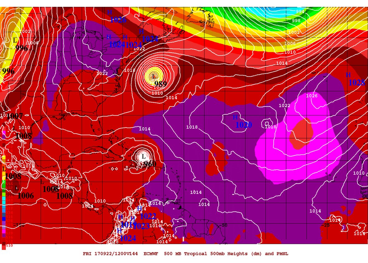
That said, today’s European model shows the potential for what are currently Hurricane Jose and Tropical Storm Maria to perform a rather rare dance off the U.S. East Coast called the Fujiwara Effect. As the dance unfolds a little more than a week from today, according to the model, Maria essentially “pinwheels” Jose right into the Mid-Atlantic coast. (Again, there’s no reason to panic about a model forecast more than a week away.)
You can watch Jose and Maria engage in the Fujiwara in the European model forecast below for Saturday morning Sept. 23 through Tuesday morning Sept. 26. Jose starts out due east of New Jersey with Maria due east of South Florida. As the two get closer together, they begin to pinwheel around each other, with Jose slamming into the Delaware-New Jersey border.

As we said, the Fujiwara Effect is a relatively rarely occurrence, although it does happen every once in a while. In fact, Hurricanes Hilary and Irwin danced the Fujiwara earlier this summer in the Pacific Ocean. Here’s how we explained the phenomenon in a related blog post:
The Fujiwara Effect is most commonly visible across the Pacific, and occurs when two or more tropical systems draw sufficiently near to interrupt each other’s traditional outflow/inflow pattern.Eventually, the upper-level outflow bands of one storm descend, are compressed, and warm up in temperature — soon acting as the inflow of the other. When this occurs, they become “pinwheel cyclones,” and begin rotating around each other.
Others in the meteorological Twitter world are noticing the Fujiwara potential as well…